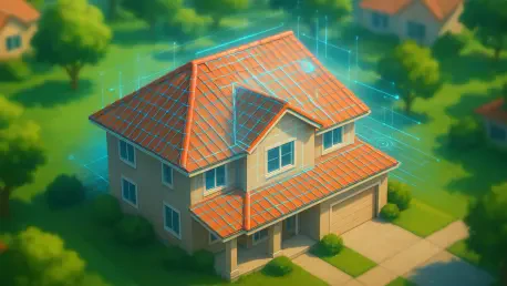

Insurance providers are rapidly replacing traditional physical inspections with remote underwriting algorithms that analyze high-resolution property photos from third-party vendors. This technological shift marks a significant departure from the era when an insurance adjuster would physically walk a perimeter, climb a ladder, and manually assess the condition of a roof or drainage system. Instead, sophisticated cameras mounted on fixed-wing aircraft, satellites, and drones now capture granular details of millions of properties across the country. While companies argue that these digital tools streamline the underwriting process and lower administrative costs, the transition has introduced a new layer of complexity for homeowners. Many individuals now find themselves receiving unexpected non-renewal notices or premium hikes based on overhead images they may not even have access to. This trend reflects a growing reliance on automated systems that prioritize speed and broad data sets over the nuanced understanding of a physical site visit.
The Evolution of Overhead Property Assessments
Part 1: High-Resolution Imaging and Algorithmic Analysis
Building on this foundation, aerial surveillance has reached near-total saturation across the United States, with major geospatial providers claiming to cover over 99% of the population with high-frequency flight paths. These companies utilize advanced imagery that offers far greater clarity than standard satellite maps, allowing insurers to zoom in on specific shingles or the condition of backyard decking. Sophisticated machine-learning algorithms then process these images to flag potential risks such as moss growth, roof discoloration, or the presence of unlisted structures like trampolines and sheds. This remote underwriting model allows insurers to monitor massive portfolios of homes simultaneously, providing a cost-effective way to manage risk without dispatching human inspectors. This efficiency shifts the burden of proof onto the consumer, who may have to prove their home is in good condition to counter a low-quality digital file that has already triggered a policy change.
Part 2: Technical Discrepancies and Data Accuracy
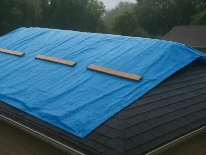
Moreover, despite the high-tech marketing surrounding these platforms, aerial surveillance is far from perfect and often leads to significant disputes over property conditions. Environmental factors such as deep shadows, the specific angle of the sun, or fallen leaves can cause software to mistake harmless debris for structural damage or a dark shingle for a missing tile. A notable case involved an Austin resident who was required to spend thousands of dollars on professional tree trimming after an aerial report flagged branches hanging over her roof, despite her history of claim-free maintenance. Furthermore, because these images are not always captured in real-time, insurers may base their high-stakes decisions on outdated data. A homeowner might have completed a full roof replacement recently, yet their policy could still be canceled based on a photograph taken months prior. This time lag creates a frustrating disconnect between the actual state of a home and its digital twin.
Regulatory Challenges and Defense Strategies
Part 3: Legislative Landscapes and Transparency Gaps
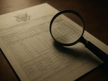
In contrast to the rapid technological adoption, current laws in many states favor the insurance industry, providing legal carve-outs that allow for drone imaging for the purposes of risk assessment. A significant point of contention for consumer advocates is the widespread lack of transparency; in many jurisdictions, homeowners do not have a guaranteed legal right to view the specific photographs used to penalize them. This lack of access makes it incredibly difficult for residents to dispute inaccurate findings, as they are essentially fighting an invisible witness. This opacity has led to a surge in formal complaints to state insurance departments regarding what many call wrongful cancellations or unfair business practices. Without a clear regulatory framework requiring insurers to share the evidence behind their decisions, the power balance remains heavily skewed toward the corporations, leaving policyholders with few immediate options for recourse when an algorithm makes a mistake.
Part 4: Proactive Protection and Dispute Resolution
To navigate this new era of digital scrutiny, homeowners adopted a more proactive approach to property documentation and advocacy. Maintaining a personal, timestamped digital record of the roof, chimney, and yard served as vital evidence when insurers presented inaccurate aerial reports. When policies were threatened, successful residents demanded the specific images used in the decision and cross-referenced them with their own photographic logs to highlight discrepancies. Documenting all completed repairs with detailed receipts and high-resolution ground-level photos proved essential for overturning automated non-renewals. If an insurance company refused to provide transparency or relied on demonstrably flawed data, filing a formal complaint with the state insurance commissioner became a standard and effective next step. By treating property maintenance as a documented record, homeowners better positioned themselves to challenge the eye in the sky.