
Imagine a world where insurers can predict the exact impact of a wildfire on a specific neighborhood, or urban planners can design cities that withstand the worst of climate-driven disasters. This is no longer a distant vision but a reality shaped by geospatial risk analytics, a cutting-edge technology that harnesses spatial data to assess and manage risks. In an era of escalating natural catastrophes, with insured losses reaching unprecedented levels, this approach offers a lifeline to industries grappling with uncertainty. By integrating geographic information systems (GIS), remote sensing, and advanced analytics, this technology is redefining how risks are mapped, predicted, and mitigated across sectors.
Core Features and Methodologies
Harnessing GIS for Precision Risk Mapping
Geospatial risk analytics relies heavily on GIS to create intricate risk maps that layer data on hazards, vulnerabilities, and exposures. This technology enables stakeholders to visualize spatial relationships, such as the proximity of urban areas to flood zones, providing a clear picture of potential threats. Such detailed mapping proves invaluable during real-time disaster scenarios, allowing responders to allocate resources effectively based on accurate, location-specific insights.
Beyond immediate response, GIS supports strategic planning by offering performance metrics like hazard identification accuracy. For instance, insurers use these maps to determine property risks in disaster-prone regions, ensuring policies reflect true exposure levels. This capability enhances decision-making, as planners and policymakers can prioritize infrastructure investments where vulnerabilities are highest.
Predictive Modeling and Climate Simulations
Another cornerstone of this technology is predictive modeling, which forecasts risks using historical data and climate projections. By analyzing patterns of past events, such as hurricanes or droughts, these models anticipate future occurrences with remarkable precision. This foresight is critical for industries like agriculture, where early warnings about adverse weather can protect crops and livelihoods.
Climate scenario simulations take this a step further, assessing long-term environmental impacts on specific regions. These simulations help evaluate how rising sea levels might affect coastal cities over decades, guiding infrastructure resilience plans. While powerful, limitations exist, including the challenge of accounting for unpredictable variables, which can affect reliability in some contexts.
Cutting-Edge Advancements
AI and Machine Learning Integration
Recent innovations in geospatial risk analytics include the integration of artificial intelligence and machine learning, significantly boosting prediction accuracy. These technologies process vast datasets to identify subtle patterns that traditional methods might miss, refining risk assessments. For example, AI algorithms can predict wildfire spread by analyzing terrain and weather data in real time.
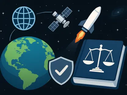
Real-Time Data from Satellites and IoT
The use of satellite imagery and IoT devices marks another leap forward, enabling continuous monitoring of environmental conditions. Aerial data captures detailed visuals of disaster aftermaths, aiding rapid response, while IoT sensors track variables like rainfall or seismic activity. This real-time data collection ensures that risk models remain current, enhancing responsiveness across sectors.
Cloud-Based Platforms for Collaboration
Emerging cloud-based platforms further amplify the technology’s reach by offering scalable solutions for geospatial analysis. These platforms facilitate collaboration among insurers, governments, and researchers, allowing shared access to complex datasets. Such accessibility fosters innovation, as diverse stakeholders can develop tailored risk management strategies without prohibitive infrastructure costs.
Industry Applications
Insurance Sector Innovations
In the insurance industry, geospatial risk analytics transforms how property vulnerabilities are assessed and claims forecasted. By mapping exposure to events like wildfires, insurers can adjust premiums with precision, ensuring financial stability amid rising catastrophe losses. This technology has proven critical in managing high-impact incidents, offering data-driven insights for faster claims processing.
Urban Planning for Resilience
Urban planning benefits immensely from this technology, as it informs zoning and infrastructure development in disaster-prone areas. Planners use risk maps to avoid building in high-flood zones, protecting communities from foreseeable threats. This proactive approach minimizes economic losses and enhances safety in rapidly growing cities facing environmental challenges.
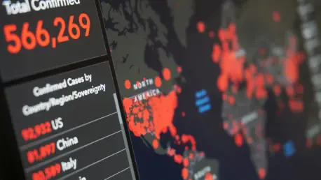
Public Health and Agricultural Uses
Unique applications extend to public health, where geospatial tools map disease outbreaks, enabling targeted interventions. Similarly, in agriculture, farmers leverage risk assessments to prepare for weather-related crop losses, optimizing yields. These diverse use cases highlight the versatility of spatial analytics in addressing sector-specific risks with tailored solutions.
Challenges in Adoption
Technical and Financial Barriers
Despite its potential, geospatial risk analytics faces significant technical challenges, including data quality issues and integration complexities. Inconsistent datasets can skew results, while the high cost of advanced tools limits access for smaller organizations. Addressing these barriers requires investment in standardized data practices and affordable technology solutions.
Regulatory and Ethical Concerns
Regulatory hurdles also impede progress, with varying policy frameworks across regions complicating implementation. Privacy concerns arise from extensive geospatial data collection, necessitating robust safeguards to protect sensitive information. Balancing innovation with ethical considerations remains a critical challenge for widespread adoption.
Final Verdict and Next Steps
Looking back, geospatial risk analytics stands out as a transformative force in risk management, blending spatial data with advanced technologies to deliver precision and foresight. Its ability to map hazards, predict disasters, and inform decisions across industries underscores its value in a world of escalating environmental threats. However, challenges like data integration and accessibility highlight areas needing refinement.
Moving forward, stakeholders must prioritize democratizing access to these tools, ensuring smaller entities can harness their benefits. Public-private partnerships should be encouraged to scale solutions, particularly in high-risk regions where protection gaps persist. Additionally, investing in standardized data protocols and ethical guidelines will build trust and foster innovation, paving the way for a more resilient future.